
Heavy Haul Route Surveys, Run as a Managed Workflow
A heavy haul route survey is a field operation with a deadline: cover the corridor, capture what matters, miss nothing, and get it to the planners while decisions can still change. RoadScope runs the survey as a managed workflow — assignment, capture, sync, review — instead of a drive with a camera.
What goes wrong on survey day
Survey day problems are process problems. The surveyor doesn't know exactly which observations the planner needs, so they capture everything or the wrong things. A constraint gets photographed but its position is a guess from memory that evening. The survey comes back "done" and only at analysis time does anyone discover a segment nobody covered.
When surveys are re-driven to fill the gaps, the cost isn't just fuel and hours — it's schedule. Permit timelines and client commitments sit behind survey completeness.
The managed survey workflow
Assign with a checklist
Survey Scheduling puts the route, the POI checklist, and the required documentation in the surveyor's app. The expectation is explicit before the truck rolls.
Capture with structure
Observations go in as typed, GPS-tagged POIs with photos and measurements — MeasurePRO LiDAR for verified overhead clearances.
Sync while still in the field
The office sees captures in real time. Gaps and questions surface while the surveyor is still on the corridor — not the next morning.
Close out and review
Completion is tracked against the assignment. The reviewed survey feeds analysis and reporting directly, with no re-keying.
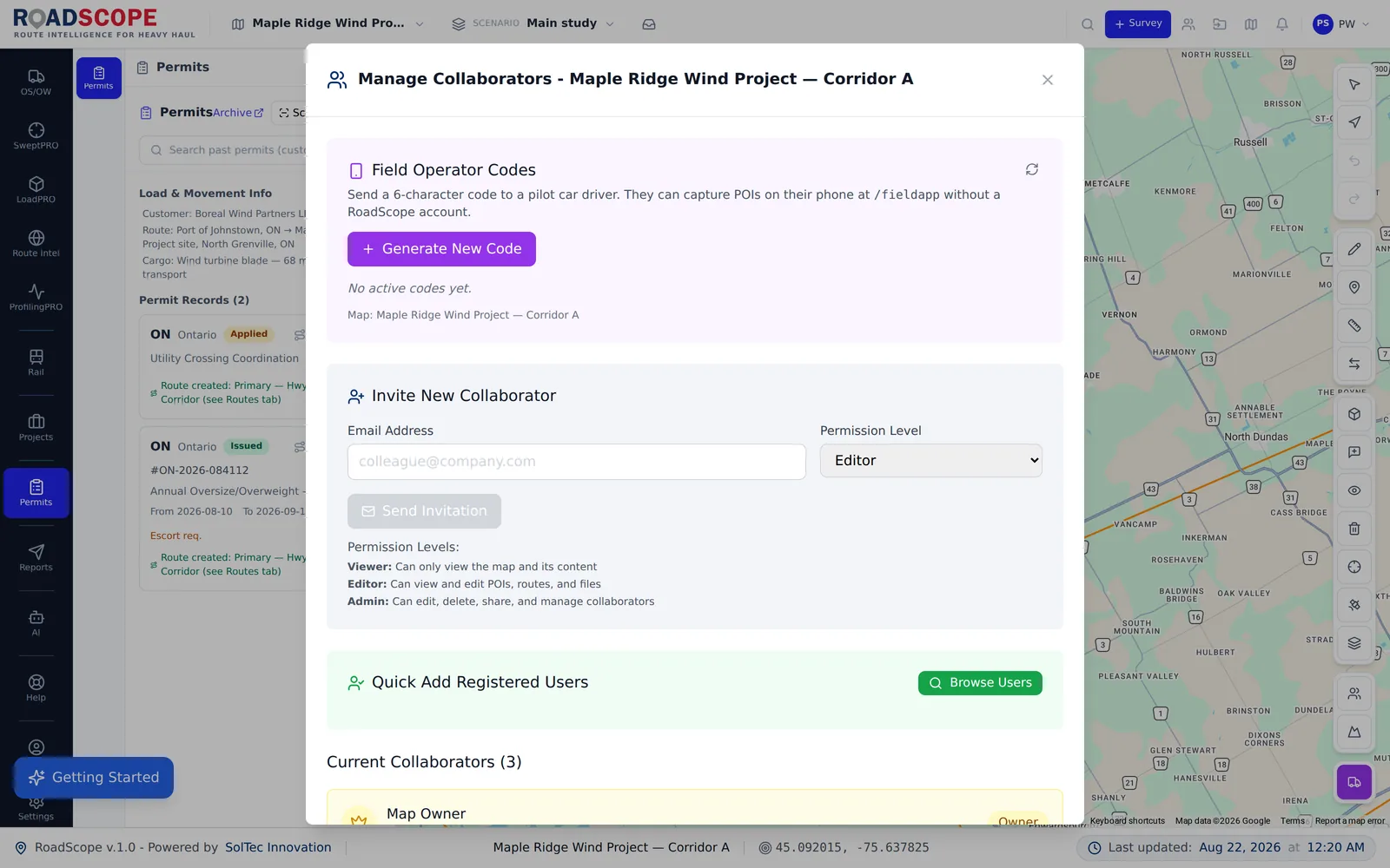
Example deliverable: the completed survey record
A closed-out survey hands the planner everything at once:
- Checklist-complete POI record for the assigned corridor
- Verified clearance measurements at every flagged overhead structure
- GPS-tagged photo documentation, positioned on the route map
- Survey report PDF generated straight from the field records
Managed surveys vs. drive-and-photograph surveys
| Spreadsheets, maps & photos | RoadScope | |
|---|---|---|
| Scope control | Verbal briefing; surveyor interprets | Explicit route + POI checklist in the app |
| Position accuracy | Reconstructed from photo order that evening | GPS-tagged at the moment of capture |
| Gap detection | Discovered at analysis, after the truck is home | Visible in real time while the team is on-corridor |
| Handoff | A folder of photos and a call | A structured, review-tracked survey record |
Frequently asked questions
Who typically runs the survey in RoadScope?
Escort and pilot-car operators, dedicated survey crews, and consultants' field teams — anyone assigned through Survey Scheduling captures into the same shared project the office reviews.
Does the field app work like the office platform?
The mobile app is built for capture: assignments, POI entry with GPS and photos, and sync. Analysis, comparison, and reporting happen in the office platform against the same records.
What if a segment has no cell coverage?
Captures are made on-device and sync when connectivity returns — the structured record doesn't depend on a live connection at the moment of capture.
Related pages
See it on your own route
Book a demo to walk through the full workflow with your use case, or try MapPRO Light — the free, no-login map — right now.