
Name, classify and place the POI
Open Map, then POIs, and choose Add POI. Enter Practice clearance — demonstration. Choose Overpass as the POI Type. For this exercise enter latitude 45.422 and longitude -75.699. Coordinates place the marker; the green map-location button is an alternative.
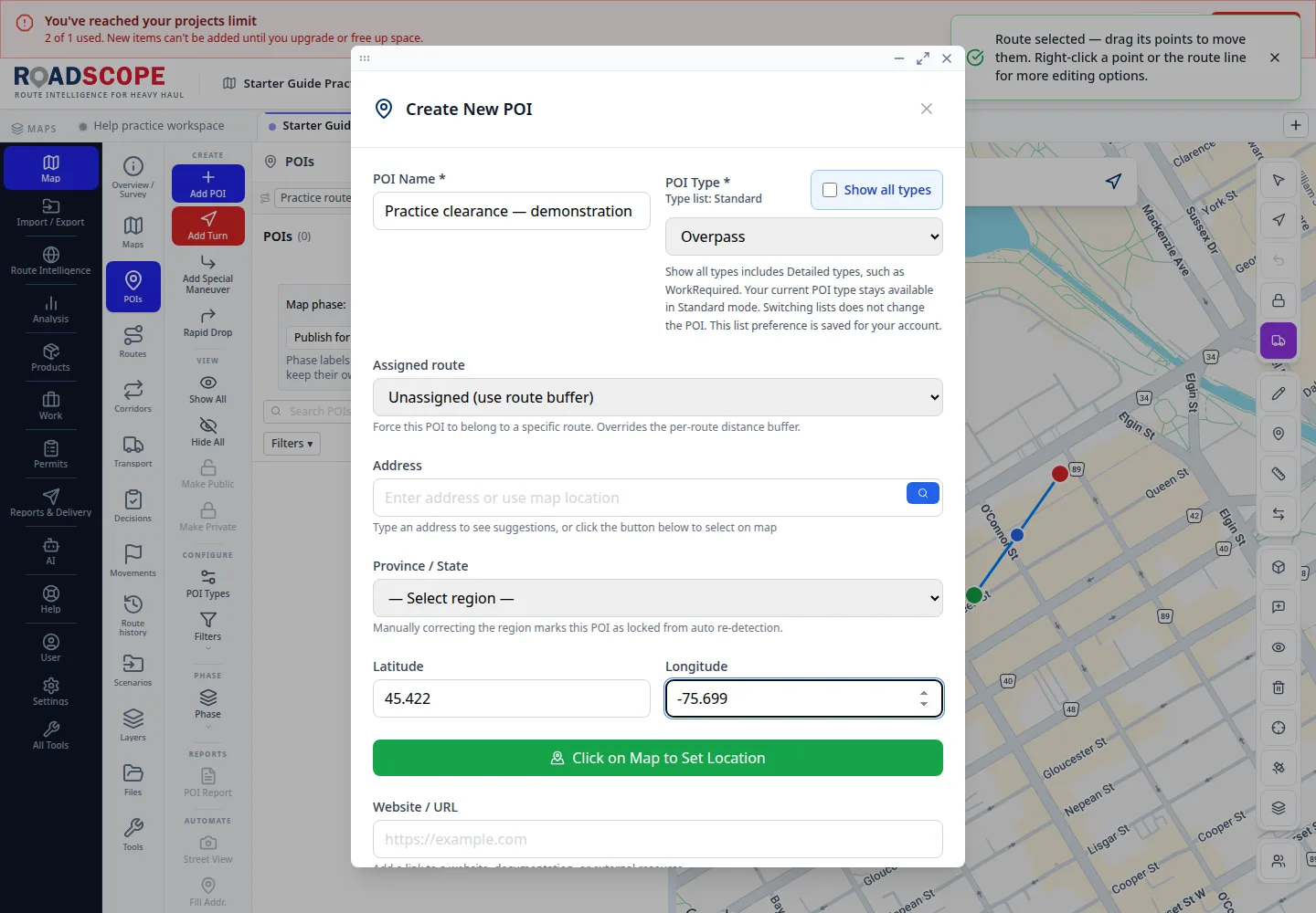
- Annotation 1: Latitude and longitude determine placement.
Listen to this step
Narration uses your device’s voice. Voice and availability depend on your browser and device. It only starts when you choose Play.
Full narration transcript
Name, classify and place the POI. Open Map, then POIs, and choose Add POI. Enter Practice clearance — demonstration. Choose Overpass as the POI Type. For this exercise enter latitude 45.422 and longitude -75.699. Coordinates place the marker; the green map-location button is an alternative.